Sketch Map of part of the Himalayas, Thibet, India, Cashmere, &c. (1854)

This map can be found on pp. 2-3 in Colonel Fred Markham’s sporting journal Shooting in the Himalayas: A Journal of Sporting Adventures and Travels in Chinese Tartary, Ladac, Thibet, Cashmere, published in 1853. Accompanying lengthy accounts of the wildlife in India and Tibet, this pencil-sketched map shows the areas Markham travelled through while on leave of absence from the 32nd Regiment, for hunting in the Himalayas during 1847-1852. The map is rich in details revealing the geography of the area and in place names of smaller towns and villages. The map depicts the Himalayas, Tibet, Ladac, Kashmir and other areas as well as towns such as Zanskar, Chinese Tartary, Mindee, Chumba, Spitee, Lahoul, Sir Moor, Gurwhal, among others.
See also:
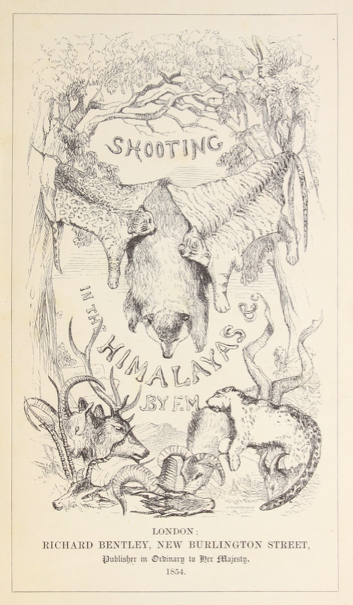
Shooting in the Himalayas (1854)