Central Asia (1880)

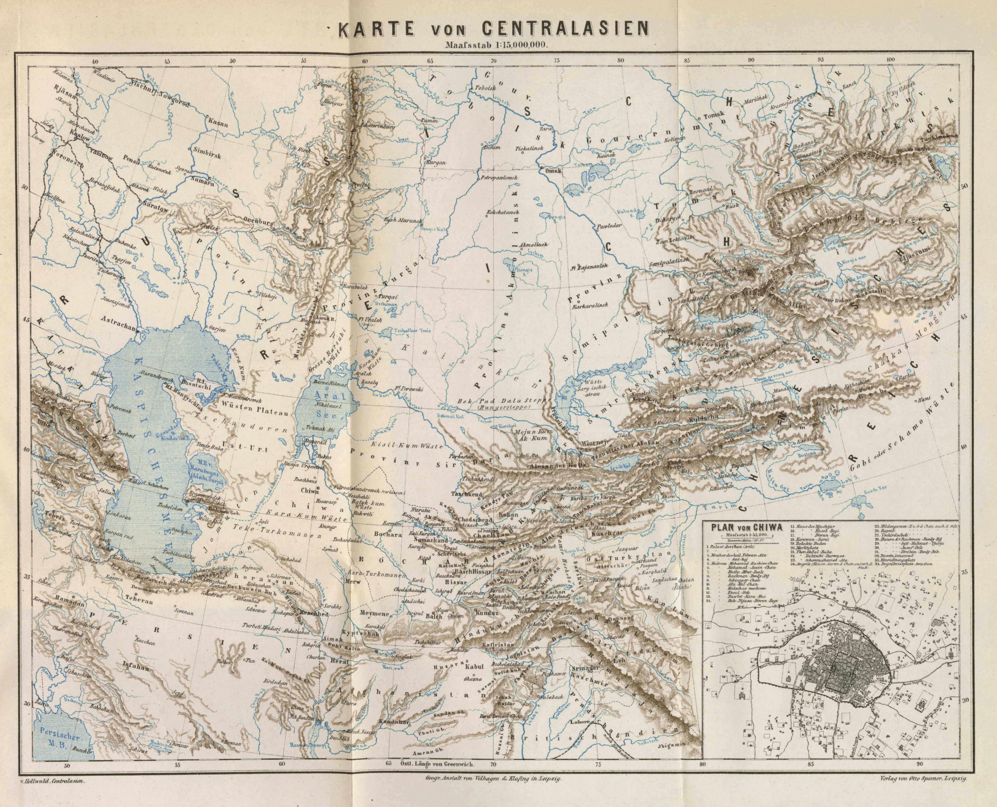
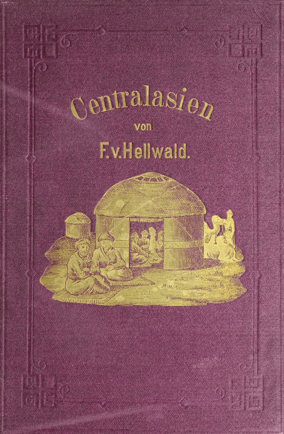
This map of Central Asia can be found in appendix to Centralasien: Landschaften und Völker in Kaschgar, Turkestan, Kaschmir und Tibet (1880) written by Friedrich Anton Heller von Hellwald.
It is a large-scale detailed map in color covering an area limited by the Caspian Sea to the west of the map and the Gobi Desert and China to the east. Persia, Afghanistan, and British India are marked to the south of the map, and Siberia and the cities of Tomsk and Irkutsk to the north. In the center of the map one can find the Aral Sea, Issyk-Kul Lake and the cities of Khiva, Bukhara, Samarkand, Tashkent, and Kashgar. This is a fairly detailed map illustrating the mountainous areas of the Pamirs and the Kunlun. In a box to the right corner of the map is a city plan of Khiva indicating locations of palaces, mosques, medresas (religious schools), and other buildings.
