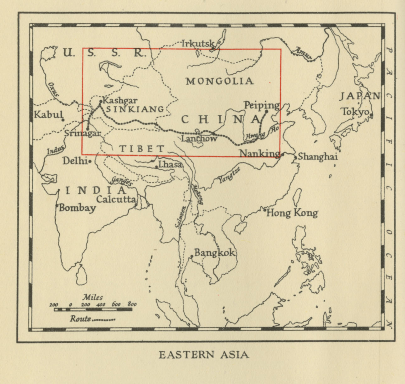
Eastern Asia (1941)

This map of Eastern Asia can be found on p. 17 in Peter Fleming’s travel journal titled News from Tartary: A Journey from Peking to Kashmir (1941).
The author’s travel route is marked in red from Srinagar to the very west of the map to Beijing to the very east of the map, passing through Gilgit, Yangi Hissar, Kashgar, Yarkand, Khotan, Keriya, Cherchen. To the south Tibet is marked, and to the north one can find Mongolia, Dzungaria and Lake Balkash. Moreover, Sinkiang is delineated with red borders. The map is fairly detailed containing markings for trade routes, cities and regions.
Below the map is a graph indicating altitudes measured in feet along the author’s travel route from Srinagar to Sian.
A second map can be found on p. 17 in the same volume, marking out the area depicted in this present map in a large-scale map of the Asian continent.
See also:
News from Tartary: A Journey from Peking to Kashmir (1941)
Eastern Asia (1941)
.