The Tauric [Crimean] Peninsula
with geographical names in ancient Greek (1803)

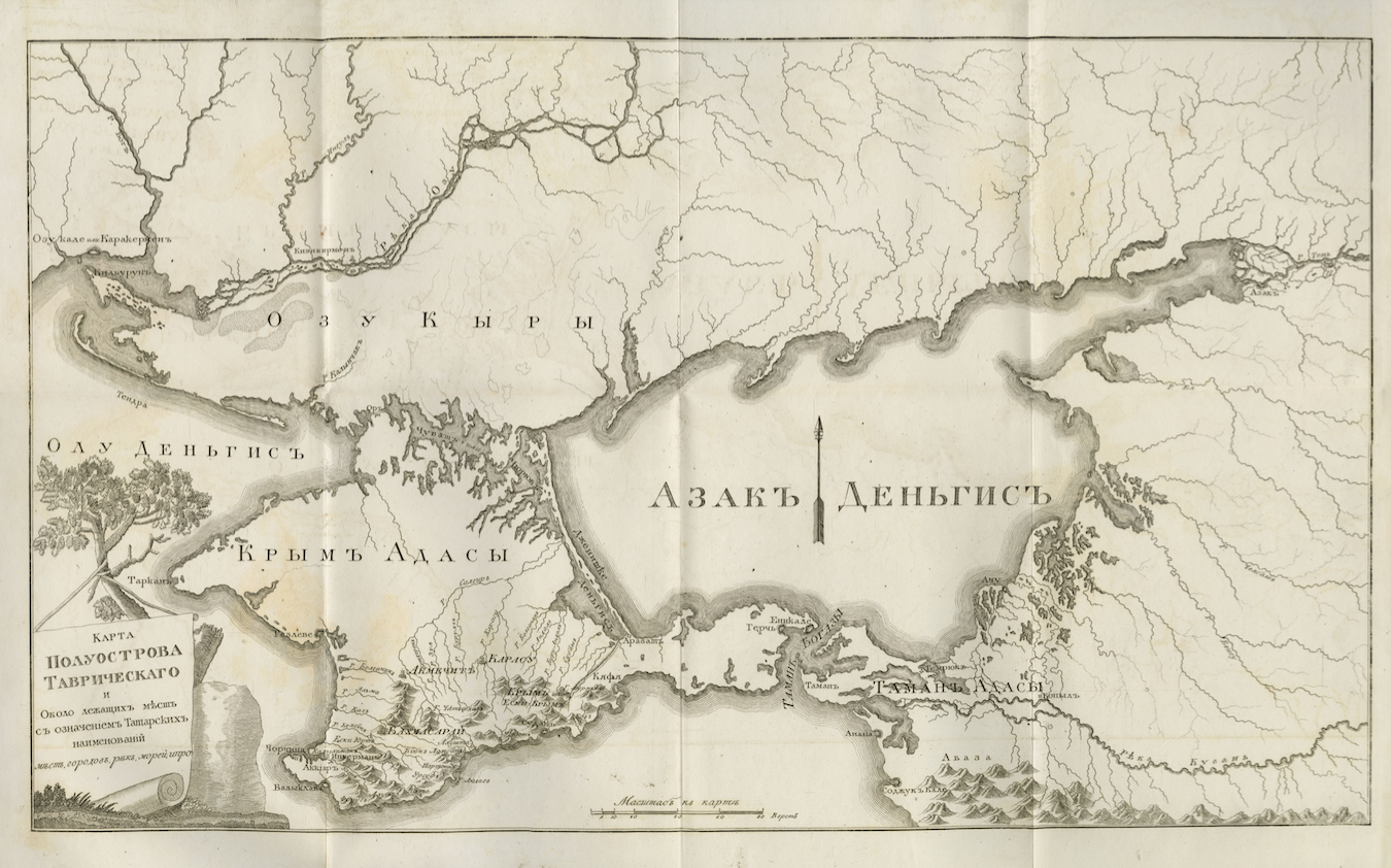
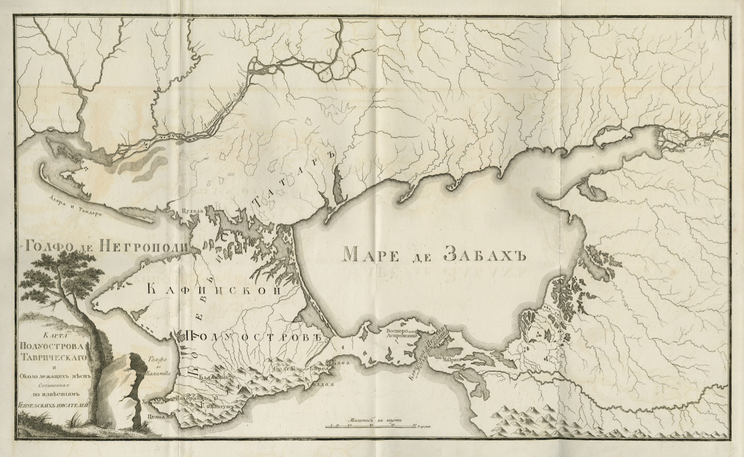
This map is one of three versions of a pencil-sketched map showing the Crimean Peninsula and surrounding regions to the north of the peninsula. The maps are to be found in an appendix to Geograficheskiya izvestiya sluzhashchiya k’’ ob’’yasneniyu prezhnyago sostoyaniya nyneshney tavricheskoy gubernii published in 1803, a book about the geography and history of the Crimean Peninsula. Mountains and lakes are drawn in a fairly detailed fashion and place names are noted, particularly along the coastline. The three versions differ as to place names chosen from Greek, Genoese and Tatar sources, respectively.
See also:
Geograficheskiya izvestiya sluzhashchiya k’’ ob’’yasneniyu prezhnyago sostoyaniya nyneshney tavricheskoy gubernii (1803)
The Tauric [Crimean] Peninsula
with geographical names from Genoese sources (1803)
The Tauric [Crimean] Peninsula and the surroundings, with Tatar place names, names of rivers, seas, and others (1803)