Central Tian Shan (1873)

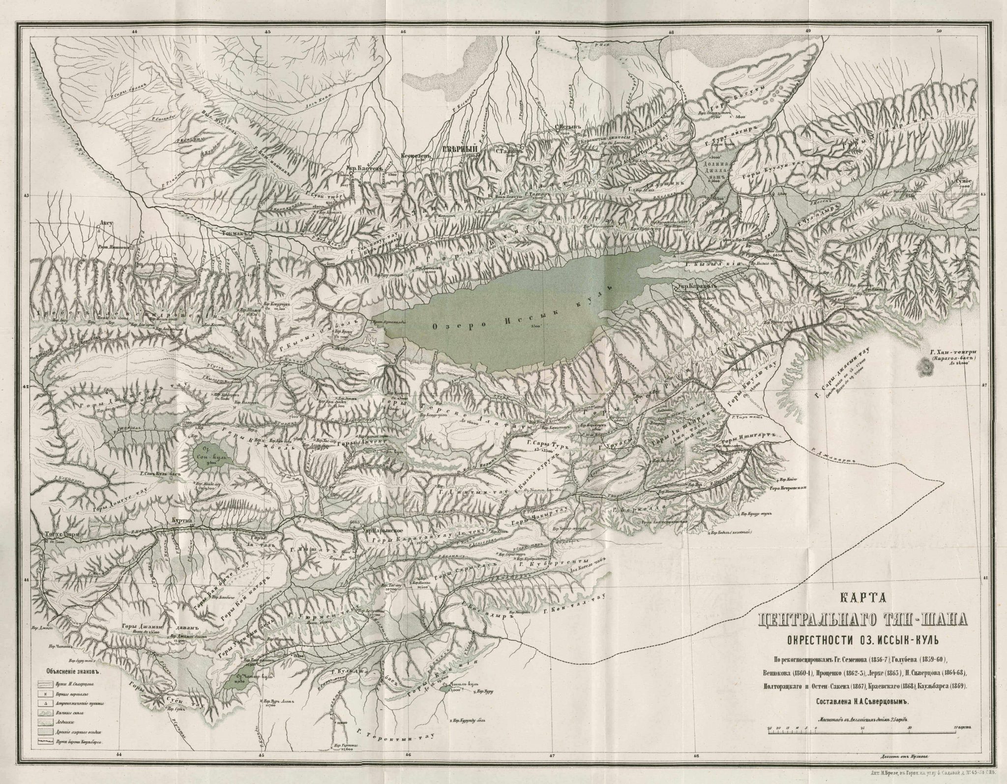
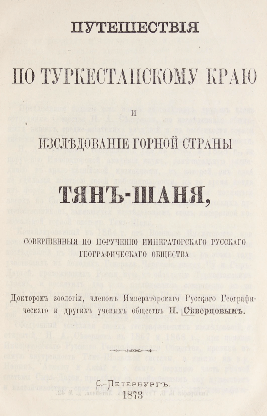
This map of central Tian Shan can be found in an appendix to Путешествия по туркестанскому краю и исследование горной страны Тянъ-Шаня: совершенныя по поручению императорскаго русскаго географическаго общества [Journeys in the Turkestanian region and explorations of the mountainous Tien-Shan: carried out by order of the Imperial Russian Geographical Society] written by N. Severtsovym and published in 1873. This is a small-scale map illustrating the geographical features in the region surrounding the Issyk-Kul Lake. In this map the routes of Baron Kaulbars of the Russian Army and N. Sivertsova are marked, along with points of astronomical measurements, a method with which coordinates were calculated.
