Central Asia (1942)

This map can be found in appendix to The Gobi Desert (1942) written by the British missionaries Mildred Cable and Francesca French.
It is a large-scale map illustrating Central Asia from the Takla Makan Desert, the cities of Kashgar and Yarkand to the west of the map, to the Kansu region and Northern China marked to the east of the map. The Kunlun Mountains, northern Tibet and China are to be found to the south of the map, and southern Siberia, Dzungaria and Mongolia to the north . In the centre runs a strip marking the main trade route through the Gobi Desert stretching from the Kansu region to Dzungaria.
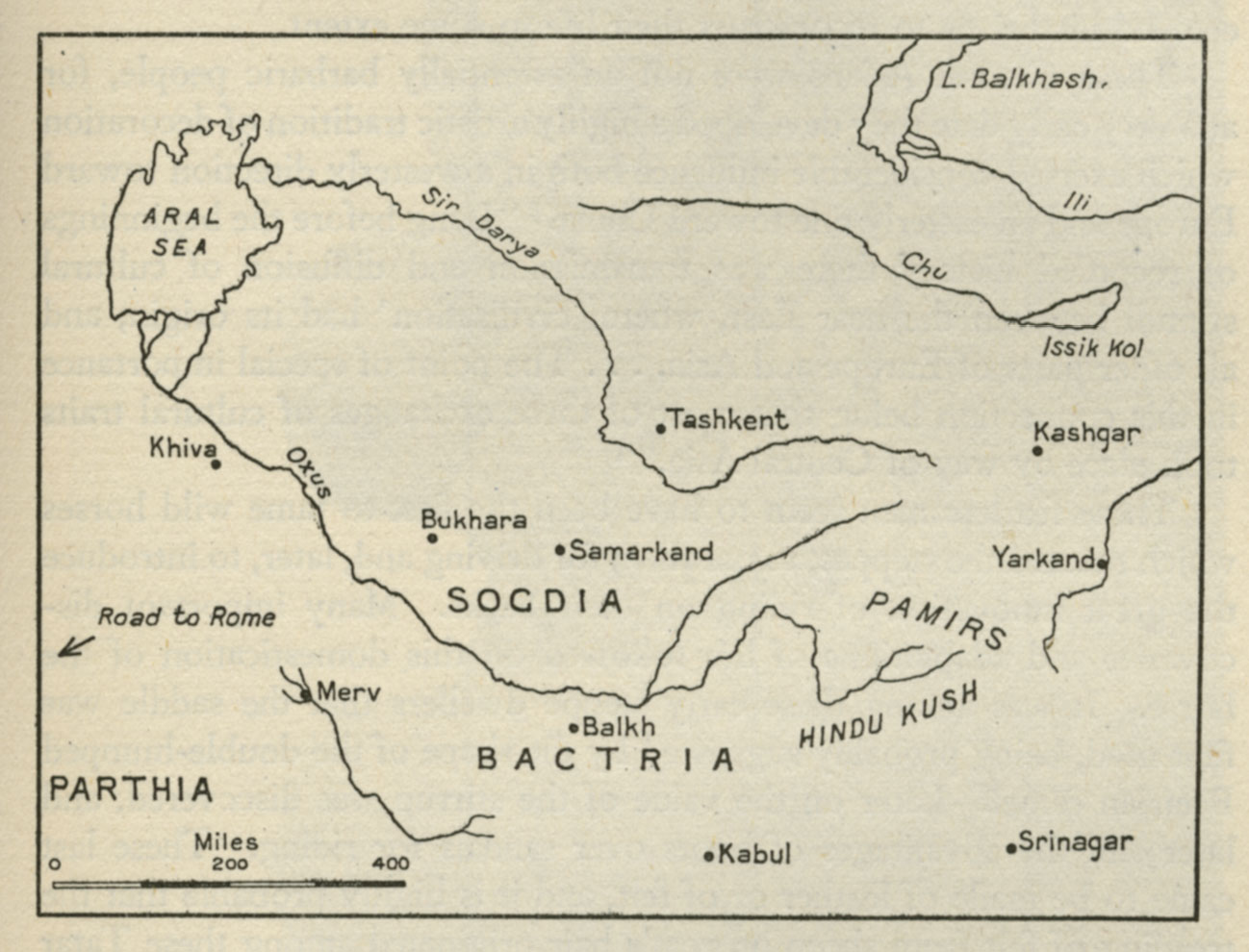
A second map depicting Sogdia, Bactria and the Pamirs, the Aral Sea, east of the Takla Makan Desert can be found on p. 207 in the same volume.
See also:
The Gobi Desert (1942)
Sogdia, Bactria, Parthia, Pamirs, the Aral Sea, etc. (1942)