Sinkiang (1939)

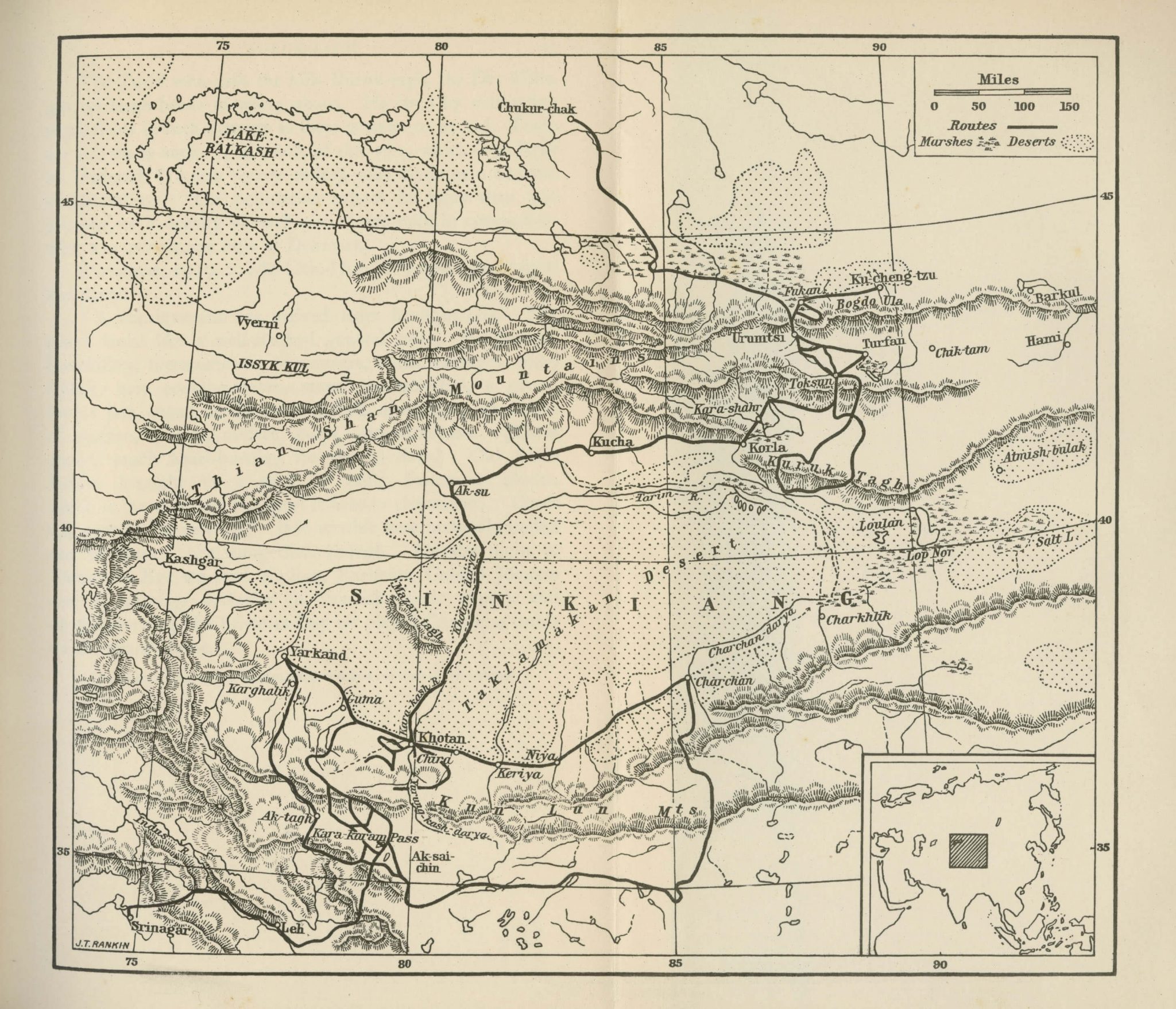
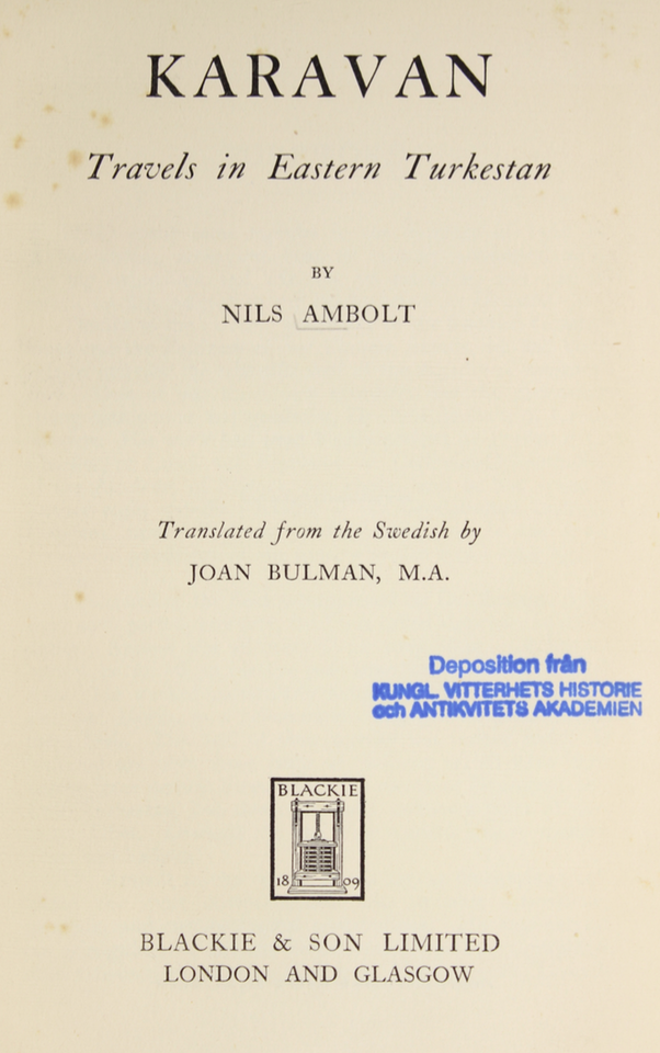
This is a map of Sinkiang, or Chinese Turkestan, as appearing in an appendix to Karavan: Travels in Eastern Turkestan (1939), written by the Swedish astronomer and geodesist Nils Ambolt. It is part of an account from the five-year scientific expedition in Chinese Turkestan, in 1928–1933, led by the famous explorer Dr. Sven Hedin. During this expedition Nils Ambolt carried out field-work assignments such as pendulum observations and mappings in the region.
The map shows deserts, marches, mountains and towns along a marked route. Urumchi, where the Sven Hedin expedition had its headquarters, is marked to the north of the Takla Makan desert, while Kashgar and Yarkand can be seen to the west. The expedition route runs from Srinagar in the southwest to Chukur-chak in the north through the cities of Yarkand, Khotan, Aksu, Kucha and Korla.
