Central Tian-Shan (1904)

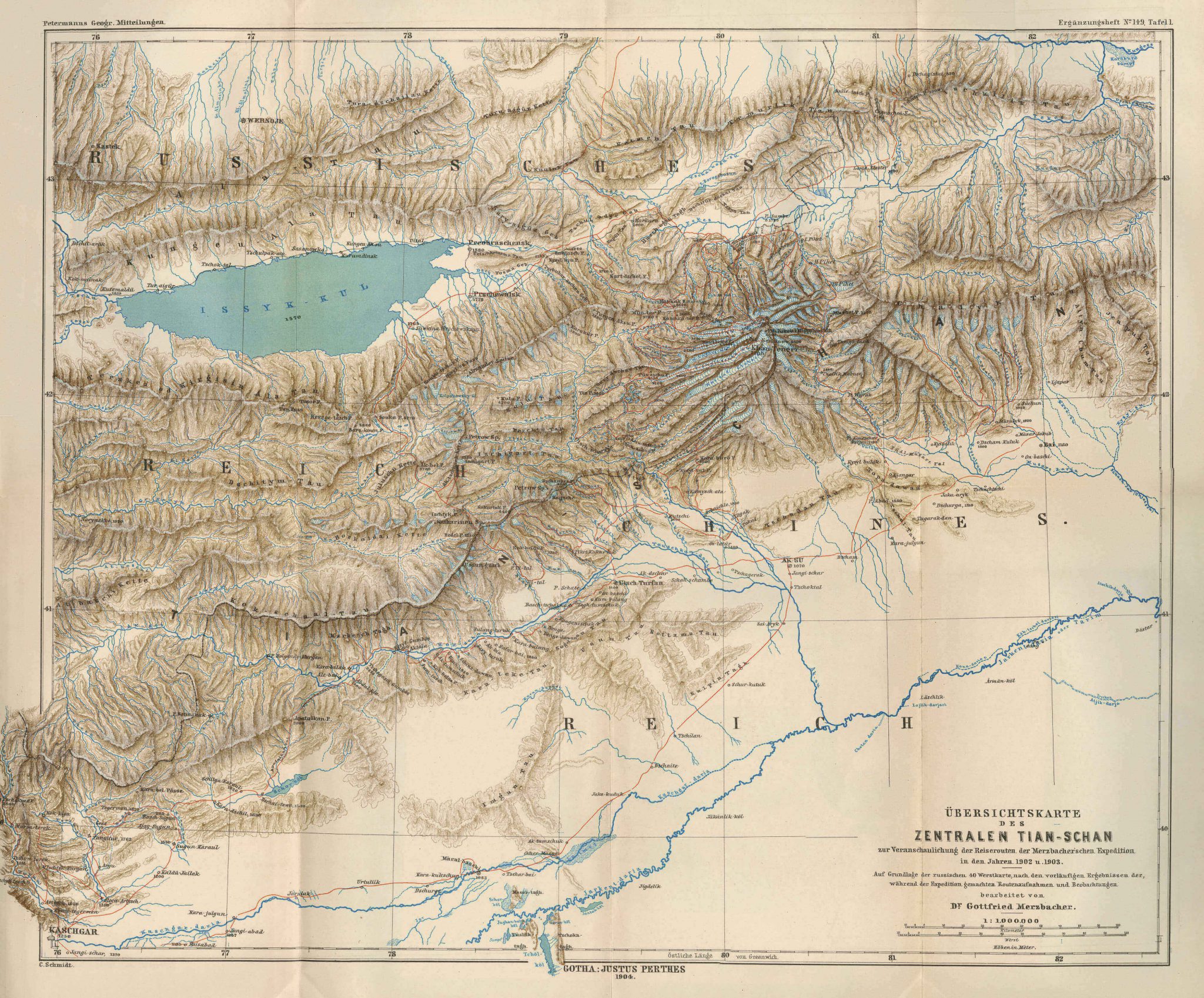
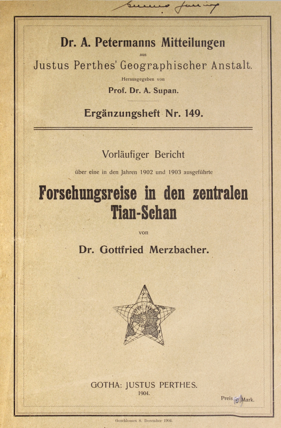
This map of Central Tian-Shan can be found in an appendix to Vorläufiger Bericht über eine in den Jahren 1902 und 1903 ausgeführte Forschungsreise in den zentralen Tian-Schan (1904) written by Gottfried Merzbacher.
This is a detailed sketch-map illustrating a section of the Tian-Shan Mountains. The Issyk-Kul Lake is marked to the northwest of the map south of which the mountain range is sketched out. The Russian border is marked to the north, and China to the southeast. Kasghar is noted to the southwest corner of the map and the city of Aksu in the center. To the south of the map the Tarim River is illustrated along with the adjoining Aksu River to its north and Yarkend River and Kashgar River from the west. Red lines indicate the travel route of the Merzbacher Expedition in the years 1902 and 1903.
