Przevalskij’s expedition to East Asia, 1871-1873

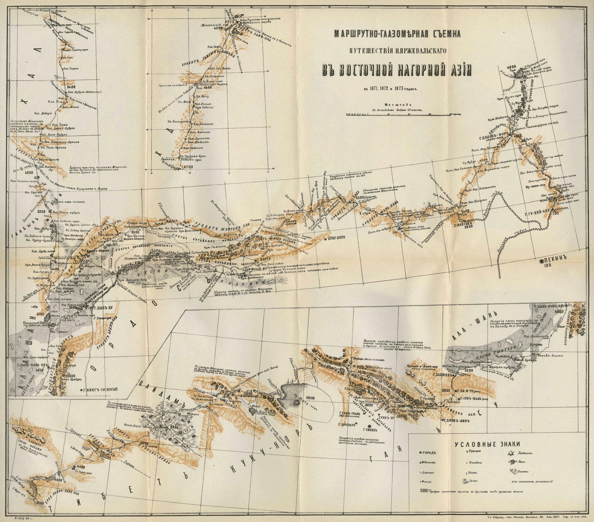
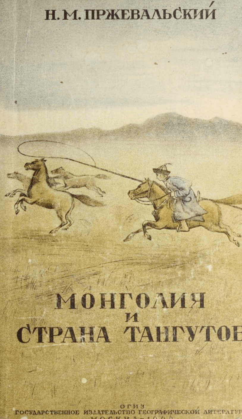
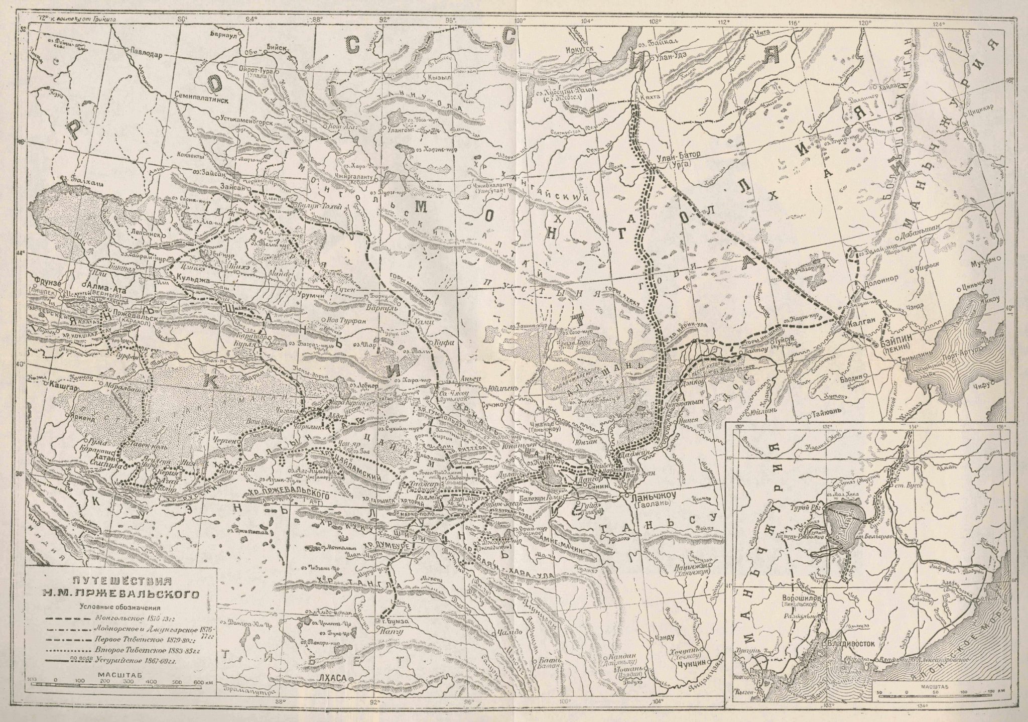
This is a map illustrating the travel route and geographical survey of the Russian traveler N. M. Przevalskij in the mountainous regions of East Asia in 1871-1873. It is to be found, together with another map of the author’s collected travel routes in Eastern Turkestan, in an appendix to Монголия и cтрана Тангутов: трехлетнее путешестие в восточной нагорной Азии [Mongolia and the land of the Tanguts: a three-year journey in the mountainous part of East Asia] published in 1946.
The present map is divided into three sections. The upper section shows a small area to the south of the city of Urga, where the Russian consulate is located, along with markings for caravan routes. In the middle section, Beijing, the city of Kalgan and the Great Wall of China can be seen. In the southwest one finds the Ordos and Alashan Deserts. The bottom section of the map runs from the Tibetan border in the west across the Qaidam province, Koko-Nor and the city of Sinin to the the Gansu region, the Ala Shah region and the Tengger Desert in the east. Throughout the map there are notes containing geographical information based on accounts gathered from the local population. This is a fairly detailed map marking deserts, swamps and glaciers, as well as towns, villages, temples and ruins.

