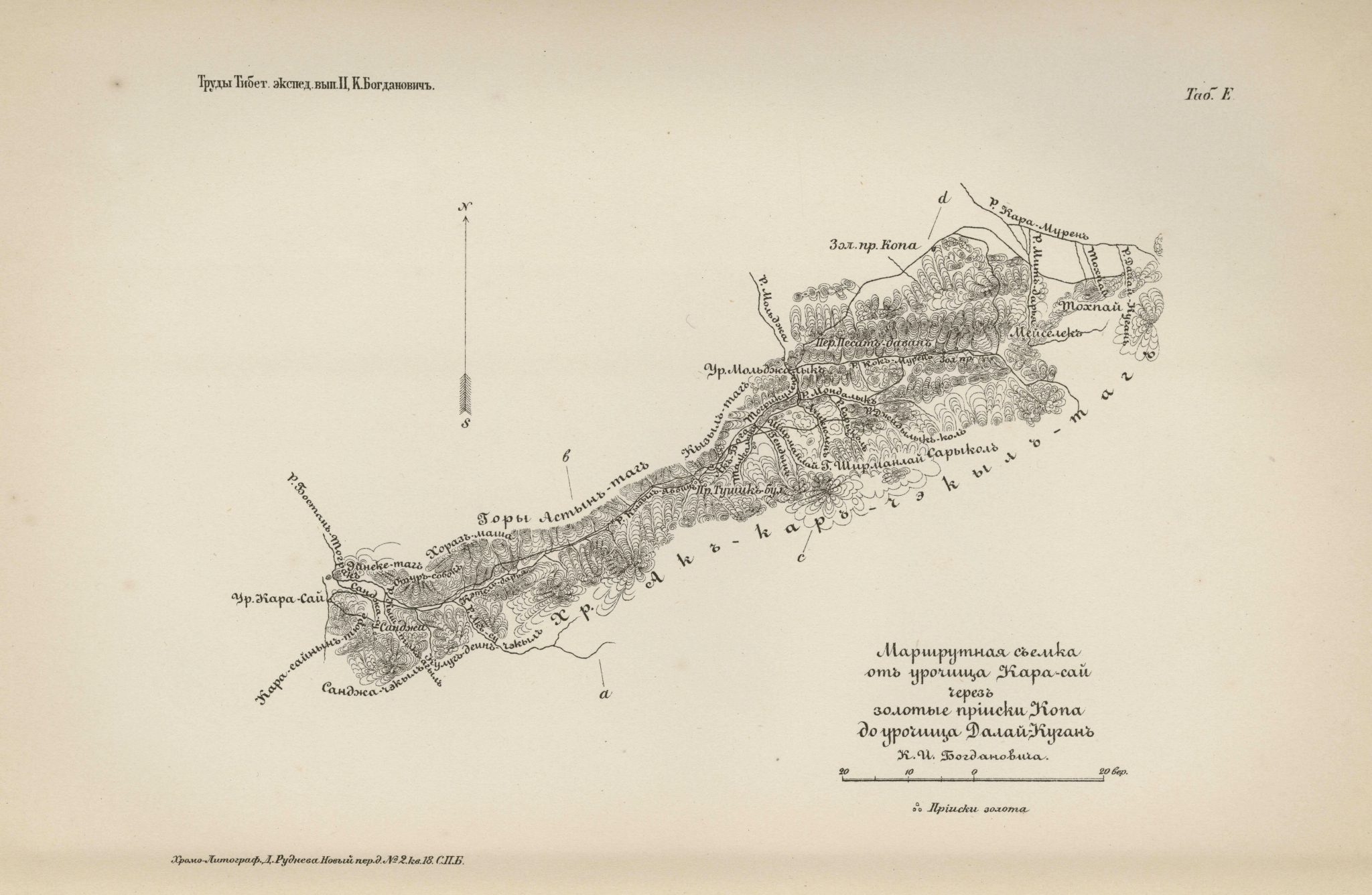
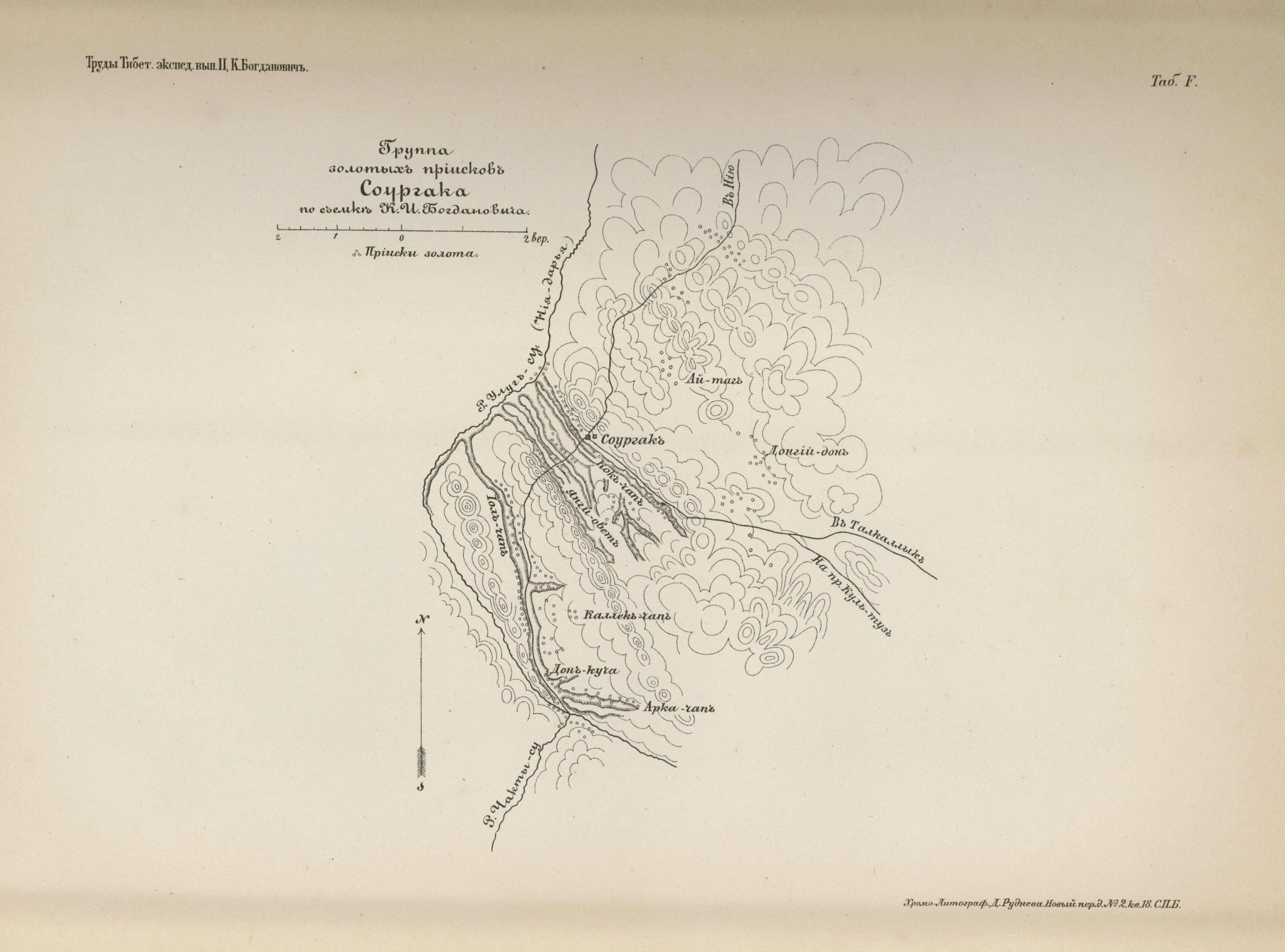
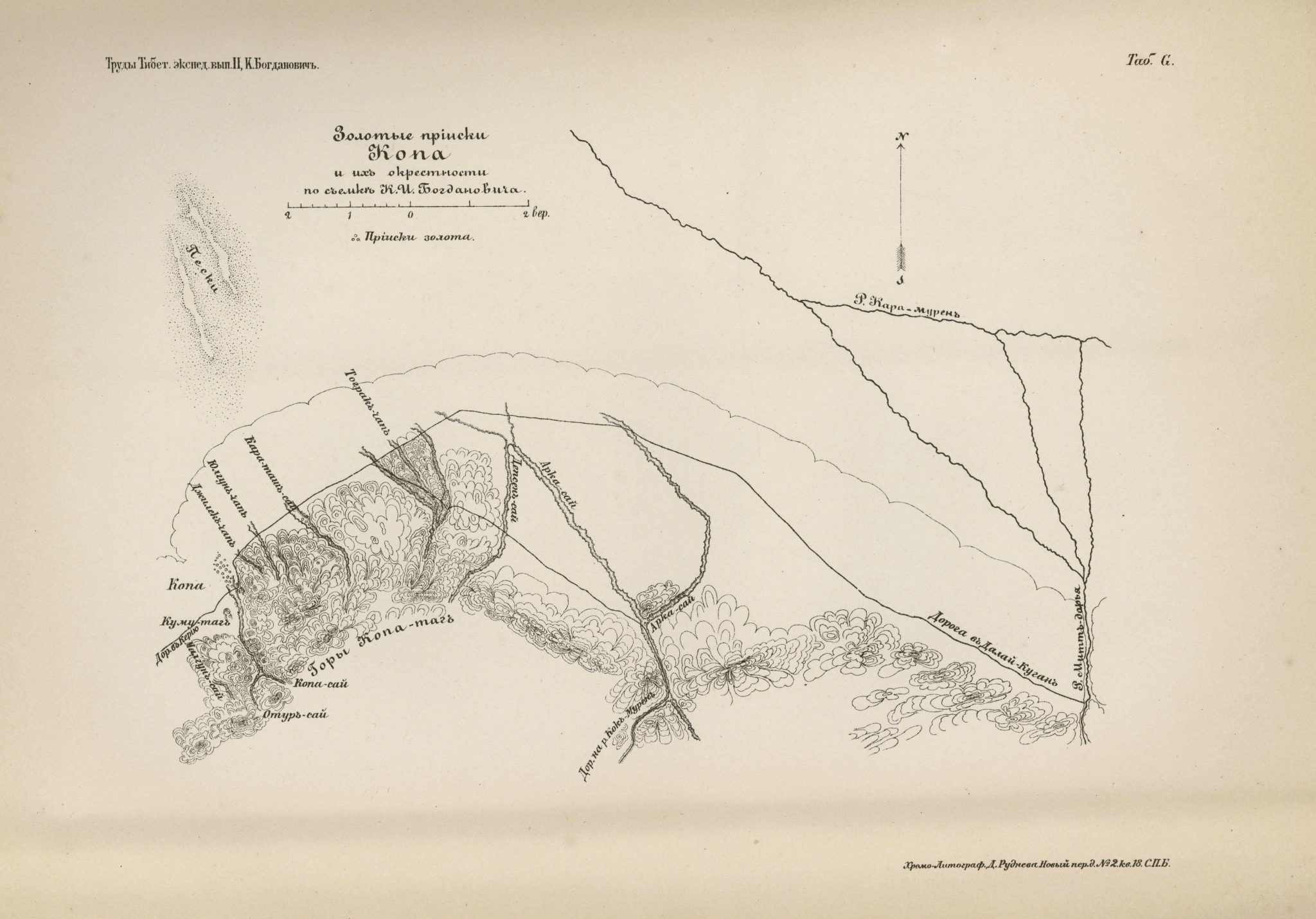
Eastern Turkestan and travel route of K.I Bogdanovich (1892)
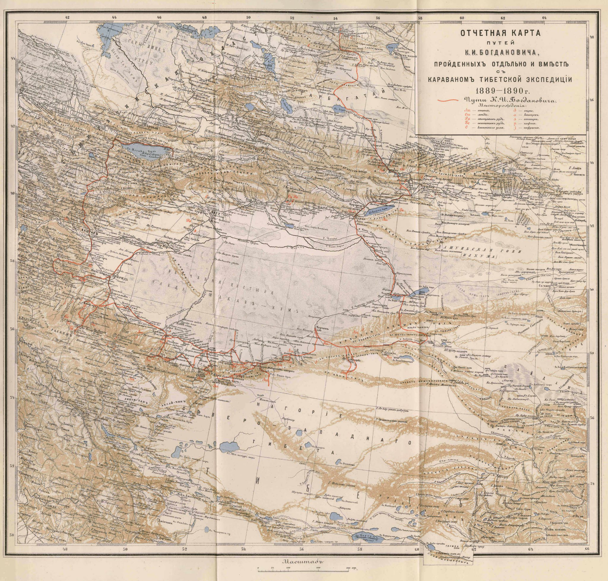
This map of Eastern Turkestan can be found in an appendix to the second volume of Труды тибетской экспедиции 1889-1890 гг. подъ начальствомъ М. В. Певцова [Works of the Tibetan expeditions 1889–1890 under the leadership of M. V. Pevtsov] edited by M. V. Pevtsov and published by the Russian Geographical Society in 1892.
It is a very detailed map with geographical and topographical information of the area surrounding the Takla Makan Desert, which can be seen in the center of the map. The names of cities, towns, villages and regions are noted, as well as rivers, lakes and mountains. Furthermore, there are markings in red for mineral resources such as gold, copper, led, iron, carbon and sulfur. Another red marking shows the travel route of the geologist and mining engineer K.I. Bogdanovich, who was a member of the Russian Tibetan caravan expedition in 1889-1890.
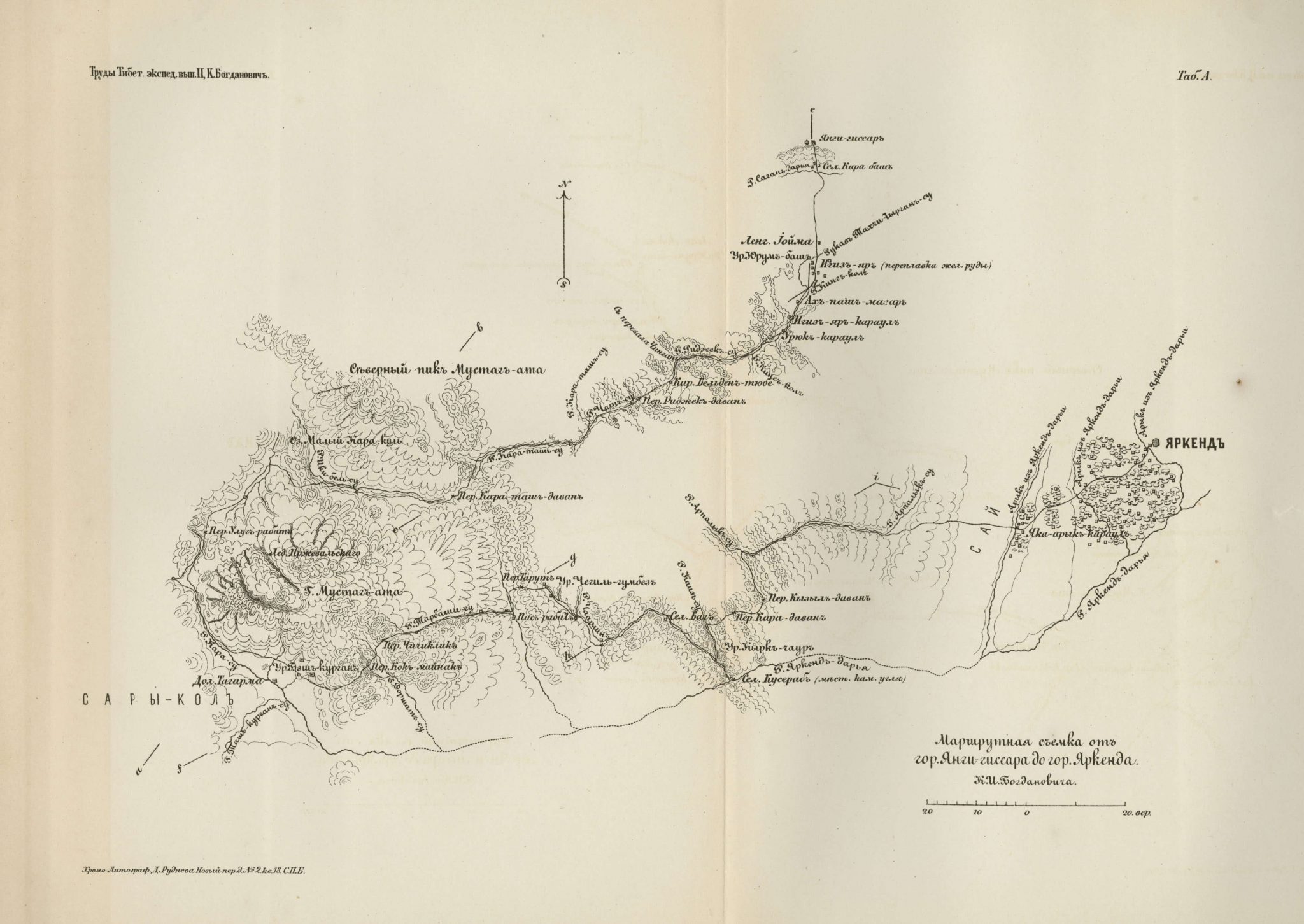
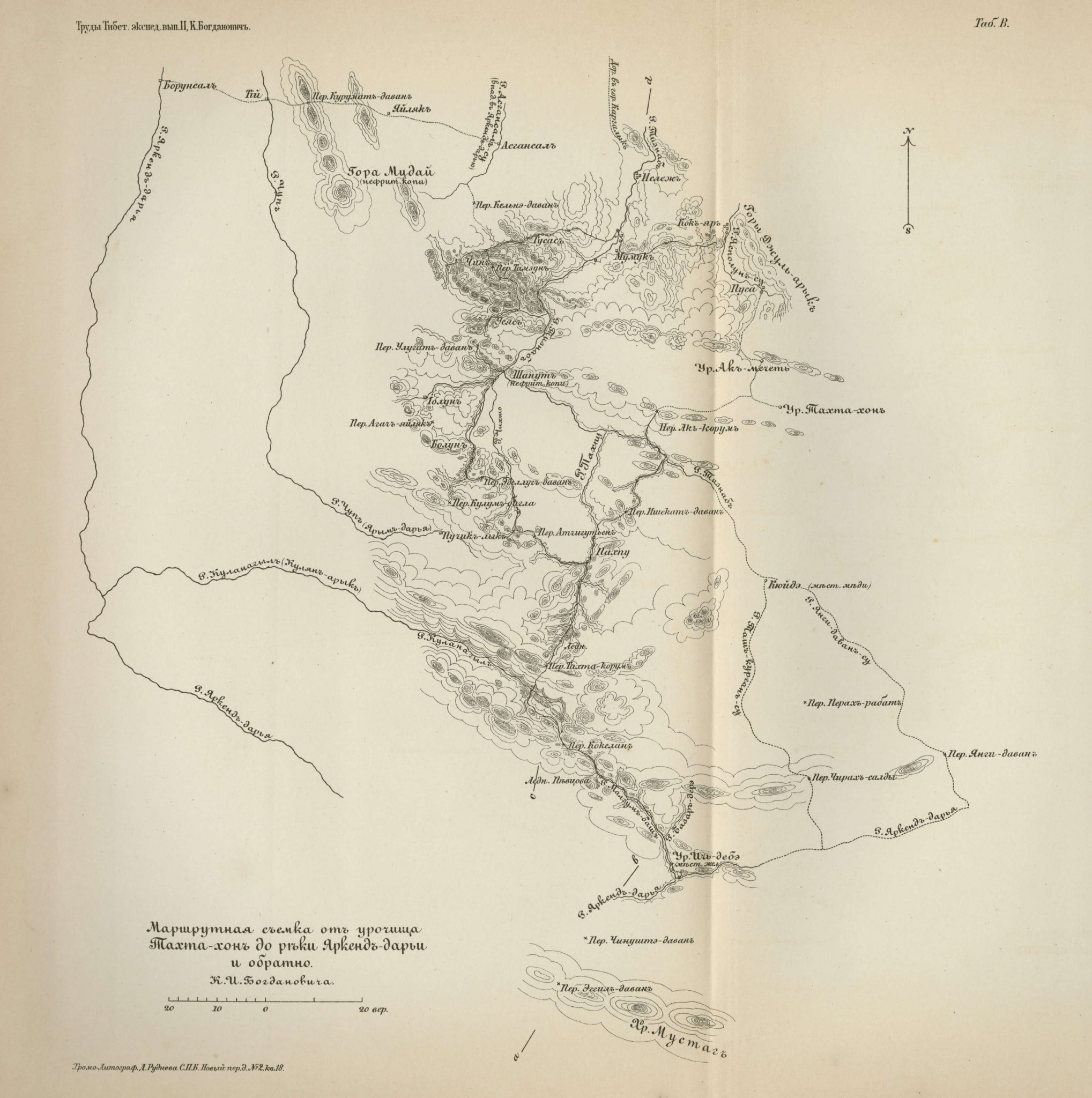
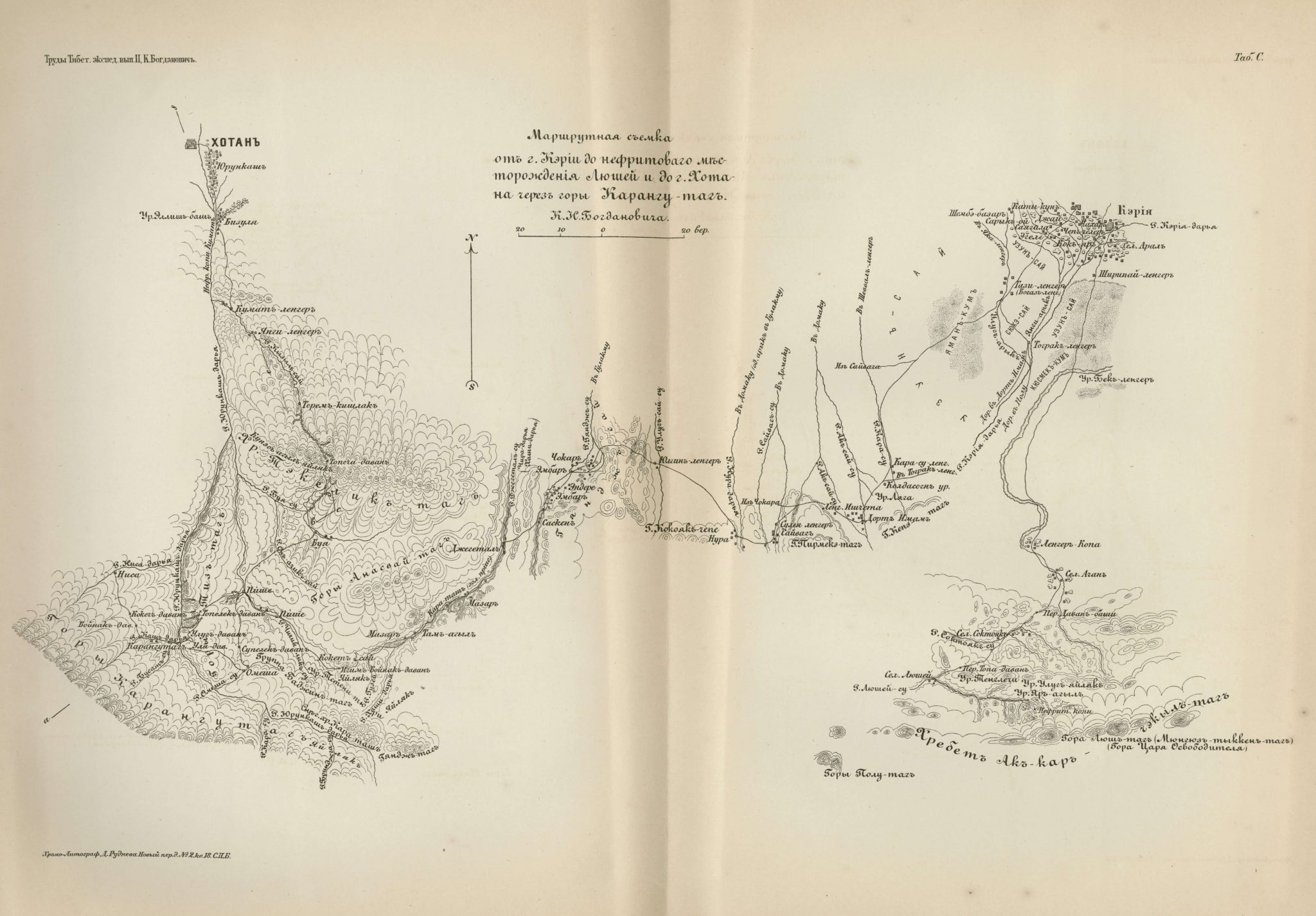
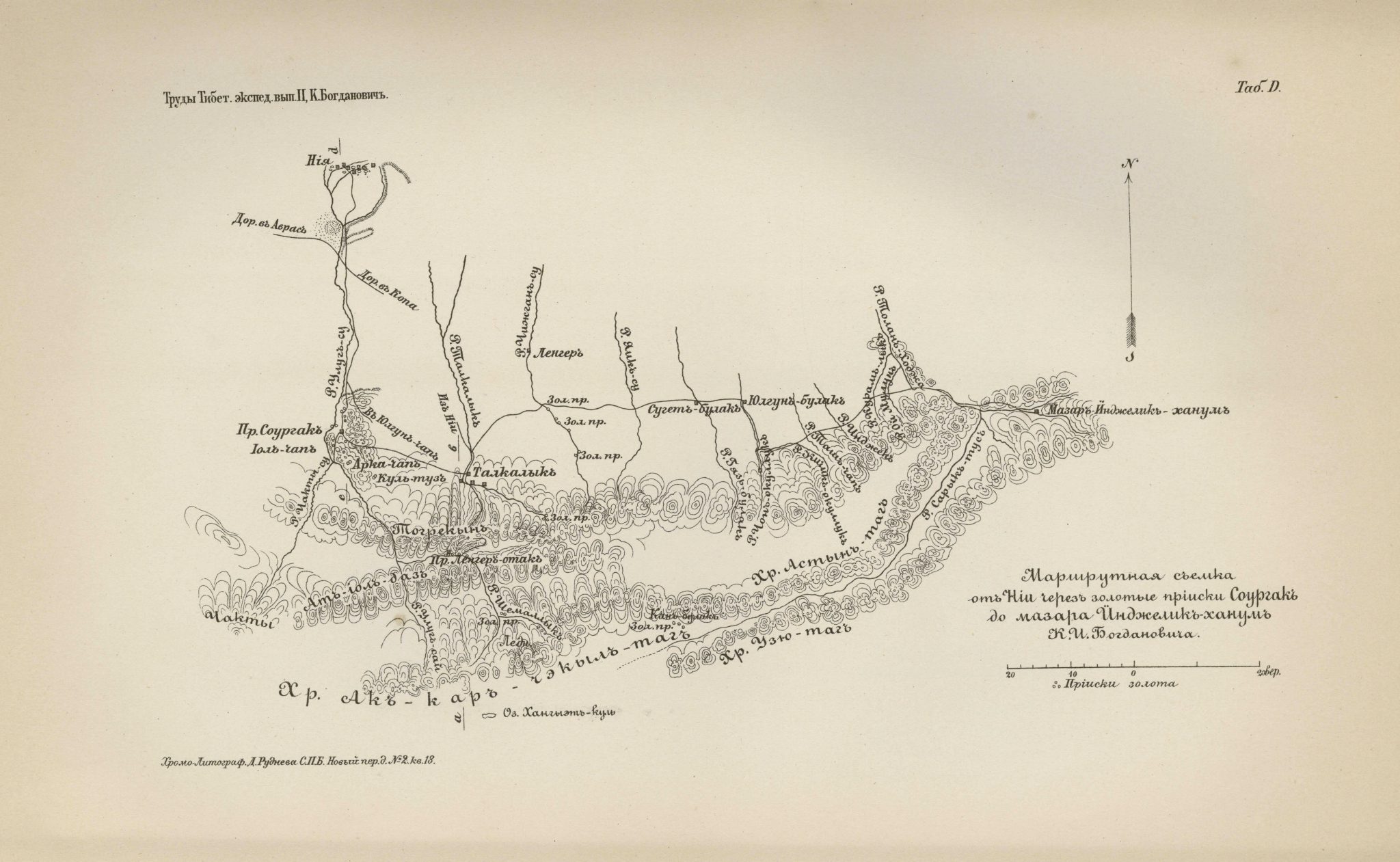
Seven other maps are appended to this volume. While the present map gives a large-scale overview of Eastern Turkestan, the others are small-scaled route surveys of areas along Bogdanovich’s route to the west and south of the Takla Makan Desert.
