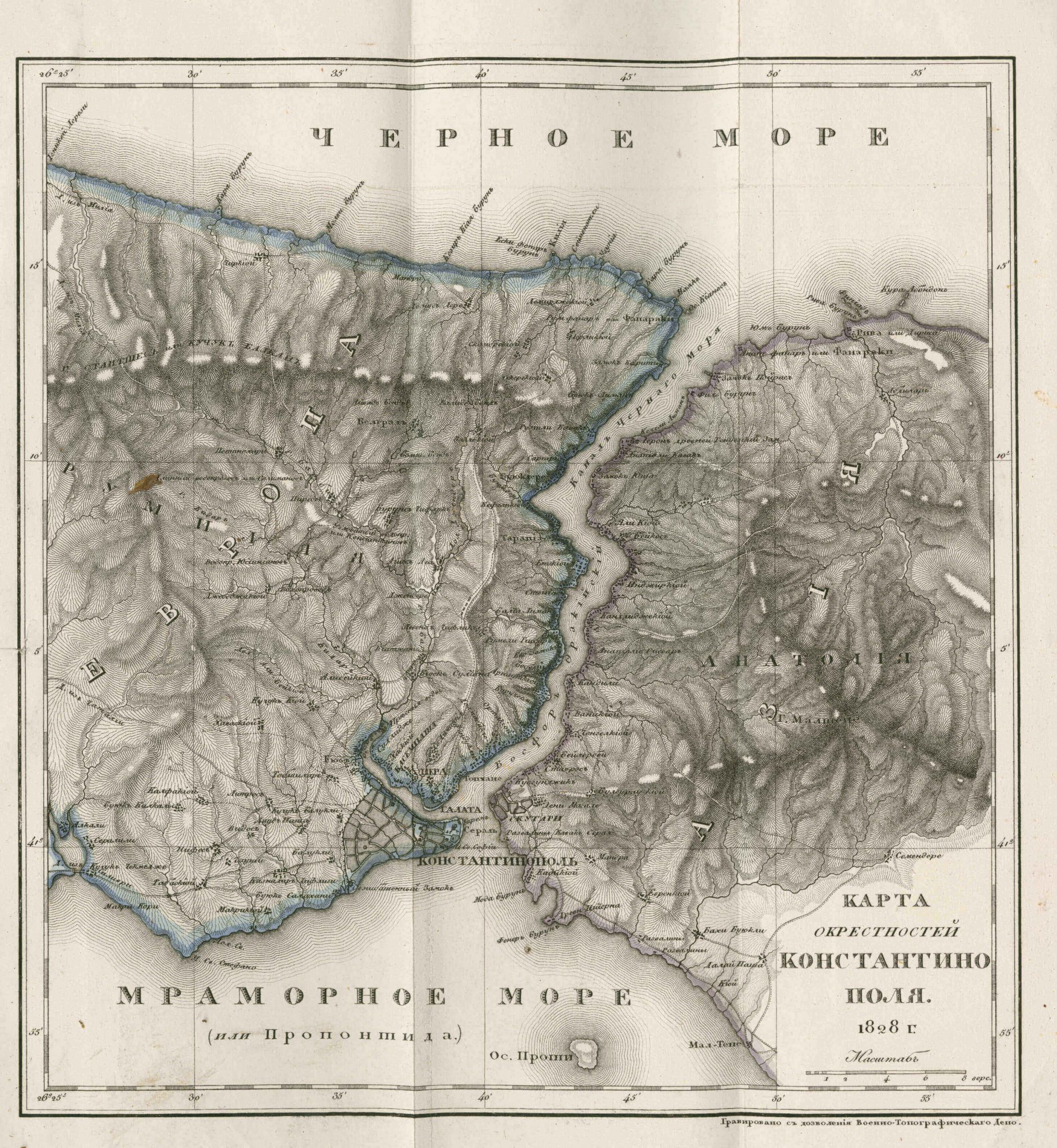
The Marmara Sea (or The Propontis) (1828)

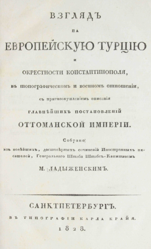
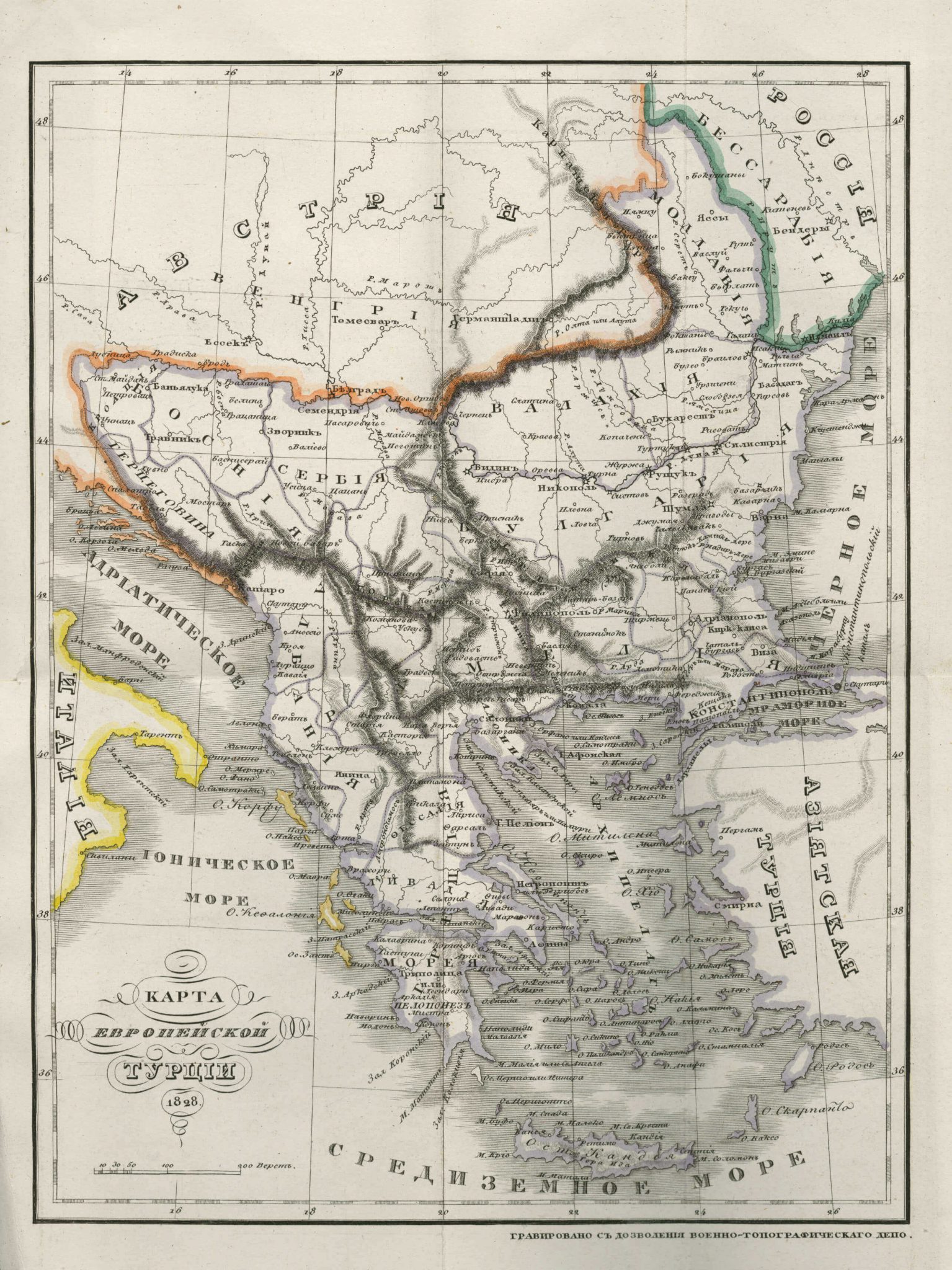
The present map from Vzglyad’’ na evropeyskuyu Turtsiyu i okrestnosti Konstantionopolya written by M. Ladyzhenski in 1828, shows the northern part of the Marmara Sea (or with the ancient Greek name, Propontis) and the Bosphorus strait separating the European and Asian continents. It is a pencil-sketched map with place names indicated along the coasts of the Marmara Sea, the Black Sea, the Bosphorus and on the European main land. Another map in the same appendix covers the European areas governed by the Ottoman Empire in 1828.

