South-western Turkmenia (1885)

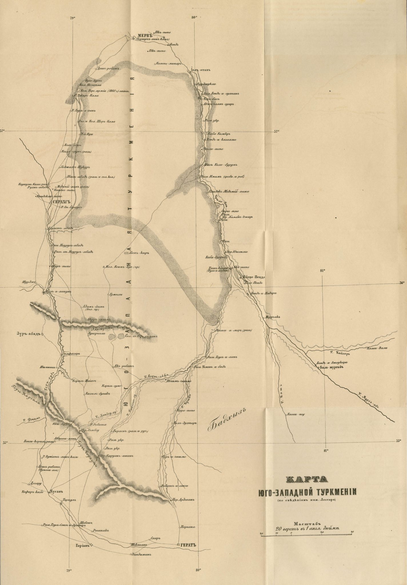
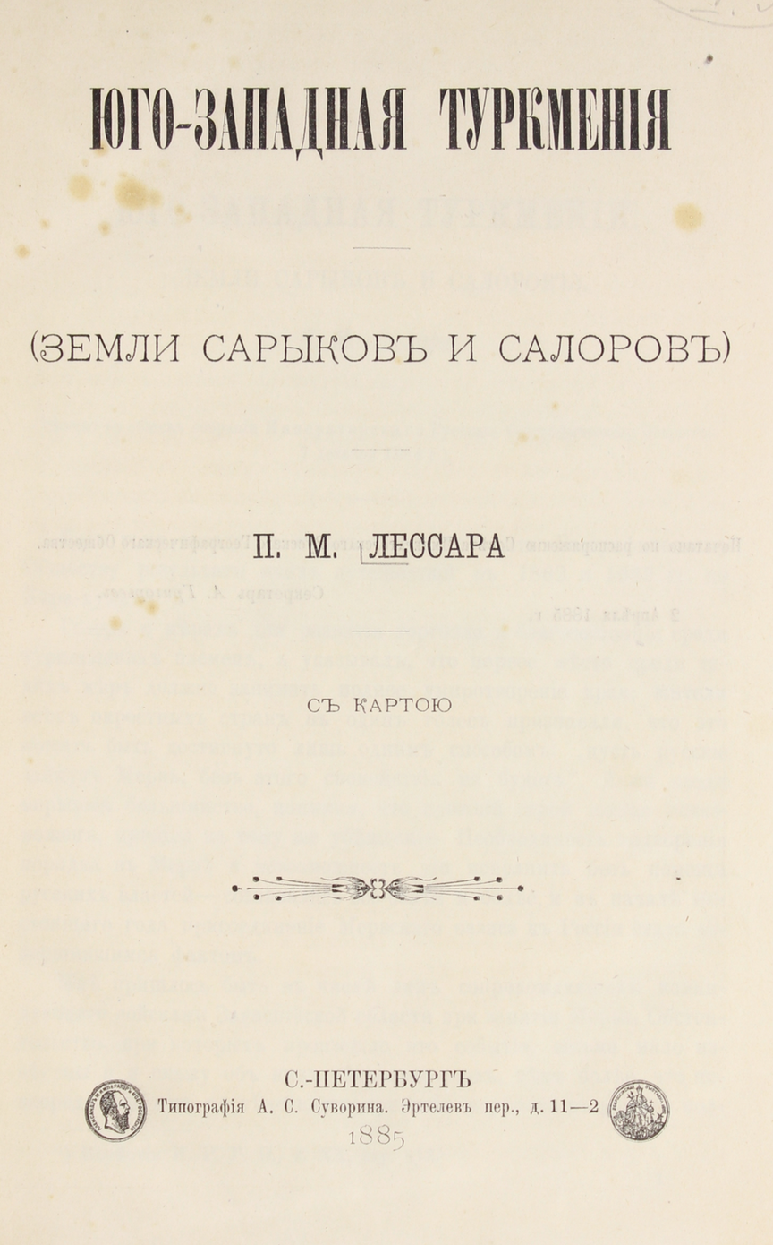
This map of south-western Turkmenia (present day Turkmenistan) is from an appendix to Юго-западная Туркмения: земли сарыковъ и салоровъ [South-Western Turkmeniya: the territories of the Saryk and Salor populations] (1885) written by the Russian diplomat, explorer and Transcaspianrailway engineer Pavel M. Lessar.
The present small-scale pencil-sketch map depicts an area south of the Karakum desert, showing the city of Merv to the north and the city of Herat to the south. The names and locations of towns and villages in between these two cities are written out, along with illustrations of rivers and railways. The city of Sarakh is located to the west,while the Badkhyz plateau and the Murgab River can be seen to the east.
